Martin McKenna
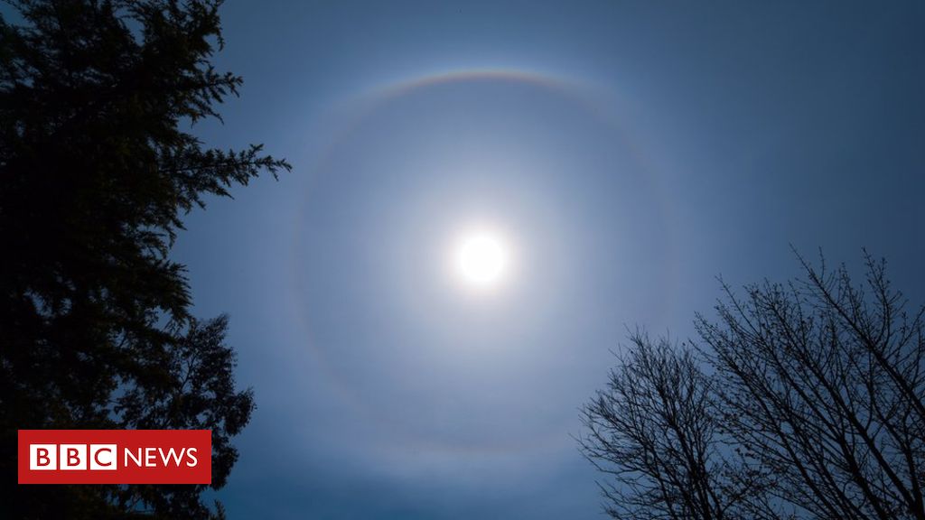
A classic 22 degree sun halo captured over Cookstown during lockdown – the enhancement within the upper regions of the halo is called an Upper Tangent Arc ( UTA)
A few weeks ago we had several sightings of sun halos.
Now that we are taking lots of walks and looking around us, it seems we notice so much more.
Several of our weather watchers on social media were captivated by this optical phenomenon and took photos.
A couple of keen Twitter followers have volunteered to share their experiences of observing and photographing these events.
Martin McKenna
A 22 degree halo with twin 22 degree Sun Dogs (spots) on either side observed over Cookstown last month. The ‘tail’ extending outward from the Sundogs is known as a Parhelic Circle. The UTA here is more pronounced.
So, first of all, we need to revisit school science to explain how it happens.
The clouds are call cirrus or cirrostratus and they form very high in the atmosphere at a similar height to the cruising altitude of regular aircraft.
At this height the air temperature is, for example, -30C and so the cloud is completely made up of ice crystals.
Martin McKenna
A rare, complex display of Sundogs, a long Parhelic Circle, Upper Tangent Arc, 22 degree sun halo, a Circumzenithal Arc which resembles a smiling rainbow and a rare Supralateral Arc
The properties of the ice crystal interact with the sun or even the moon – it happens at night time, too.
It is the interaction of either sunlight or moonlight that creates the halo effect.
Light is reflected and refracted by the ice crystals (do you remember your physics from school and learning about prisms?) and can split into colours because of dispersion.
Ross McLaughlin
A 22 degree halo with the sun positioned behind a wind turbine, taken in Banbridge
It is a very similar process to the formation of rainbows but, this time, it is the interaction of sunlight with rain droplets and the water droplets within these lower based clouds, rather than ice crystals.
Halos can have many forms, ranging from coloured or white rings to arcs and spots in the sky.
Before we had fancy computers in the world of meteorology, these high level clouds were used as an empirical form of weather forecasting.
They can indicate that a weather system is approaching and therefore rainfall is likely within the next 24 hours.
Ross McLaughlin
A colourful corona, much smaller than a halo (hence the finger to give perspective) and caused by water not ice, taken during lockdown in April


